
How #Microsoft Users Can Seamlessly Unlock the #Where in #Data https://tinyurl.com/v2rebs7s via #ArcNews
#location #spatial #business #intelligence #geospatial #GIS #esri #arcgis #mapping #GISchat #mapstodon @esri @msftnews @esrifederalgovt @esrislgov @esritraining @urisa


 :
: 


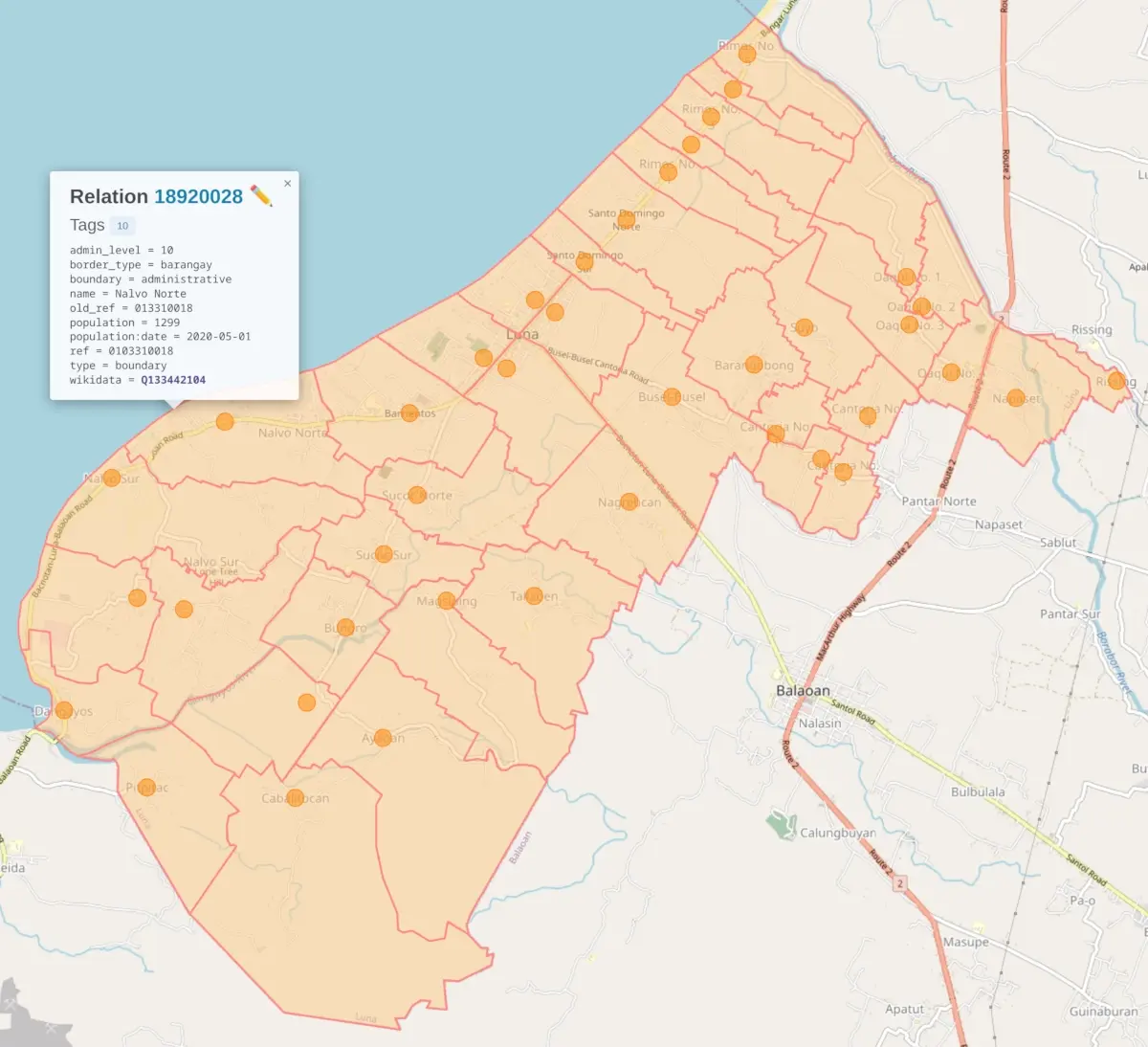
 Do you know any viable alternative to osmdroid for map building in Android?
 Roseberry Topping, North Yorkshire UK