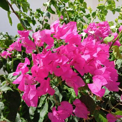
Just learning that #iNaturalist will export observations with obscured location coordinates to #GBIF as part of their 'research grade' dataset. I understand that research grade isn't a formally defined term, but I sure didn't expect it to include records that have had their data deliberately altered! You need to anticipate and check for all kinds of errors in public data like this, but people introducing errors on purpose is not something I considered checking for.
I understand there is a good reason to obscure location data. But including altered records by default in 'research grade' is very unexpected. Holy smokes.


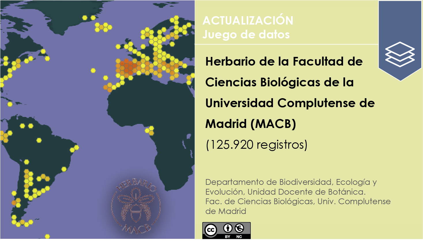
 https://doi.org/10.15470/e6kyz3 #CiteTheDOI

 Le GBIF France renforce son réseau avec un nouveau portail hébergé
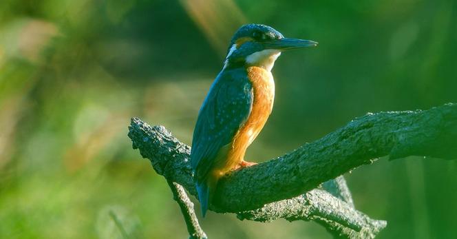
 Vidéo, 3:19 min

 Wed 12 Feb 2025 15:00-16:30 CET. This event will be recorded.


 -based NGO is also a formal
 We've renewed and re-established the
 !
! 

 Greg Cocks
 Exciting news!
  Explore Belgium's biodiversity data in English, Dutch, and French! Developed by the Belgian Biodiversity Platform via the


 Just a few days left!


 Panama has joined


